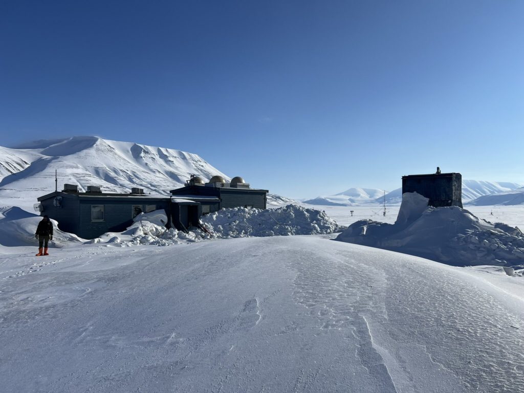
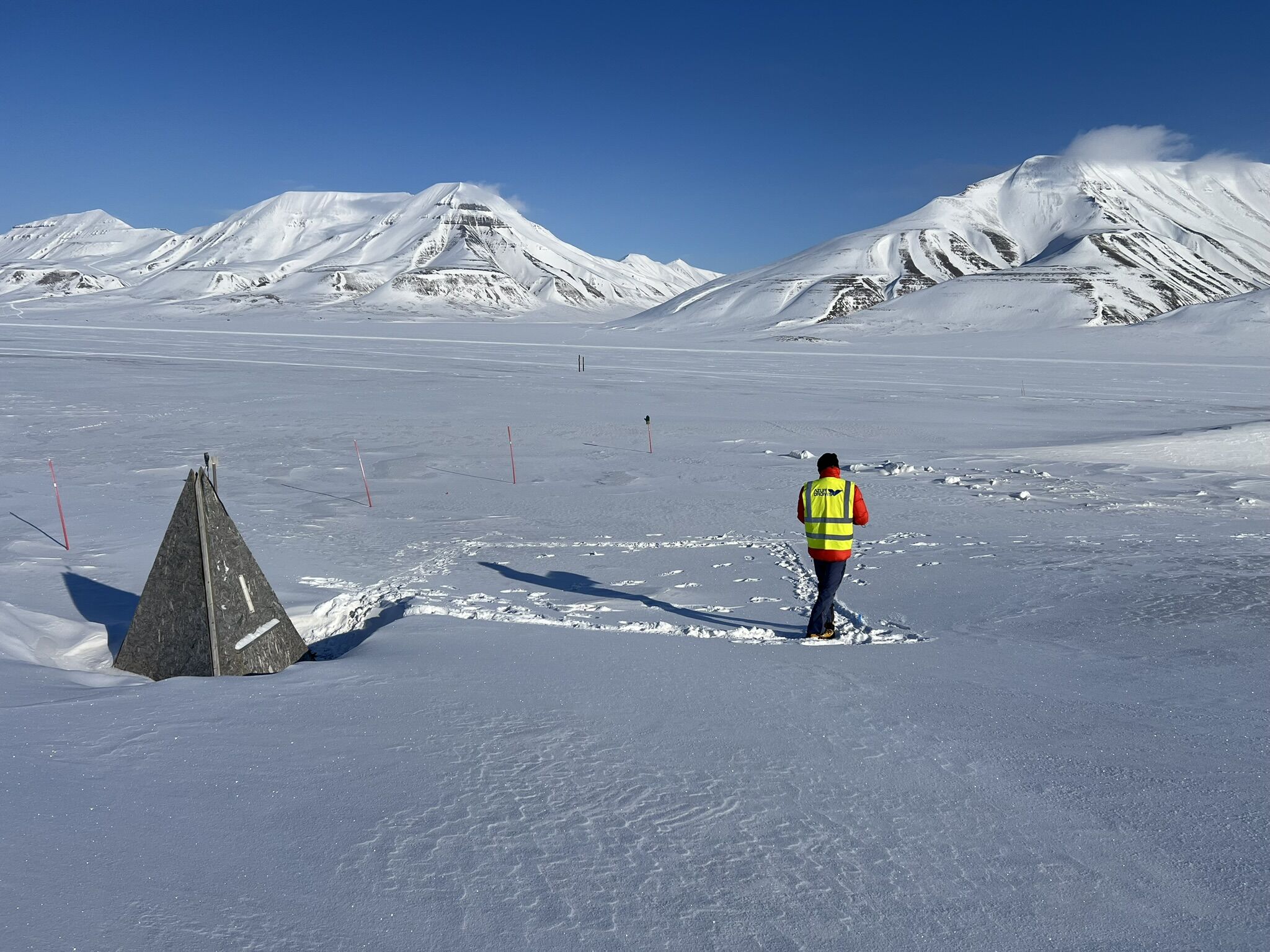
Last week, a technical team travelled to Svalbard (Norway) to prepare for an exciting new field campaign as part of the MISO in-situ observation platform project.
?️ As part of MISO, an autonomous Skeyetech drone is being used as a mobile observatory to map methane (CH₄) and carbon dioxide (CO₂) concentrations in Arctic and wetland environments — helping scientists better understand greenhouse gas fluxes in sensitive zones.
? This first mission focused on validating the drone’s flight conditions in the Arctic:
✔️ GPS calibration and compass disturbances near the pole
✔️ Flight zone definition
✔️ First regulatory procedures
? The scientific flights will begin in September 2025, with the drone supporting European researchers in tracking methane emissions linked to permafrost thawing and melting ice. The objective?
✅ Detect emission hotspots
✅ Compare data with existing reference methods
✅ Improve spatial upscaling of gas variability
✅ Contribute to the validation of new environmental data protocols
? A concrete illustration of how autonomous drones contribute to climate and environmental science.
Stay tuned – flights kick off this September!